The first thing to consider is the attitude, making it clear that we are going to make a flight within an environment where anything can happen (prohibition lines, full regions, server restart, etc.), and that preparing a flight can last almost an hour before we go out to fly, so the frustration that our flight has an "accident" and we will see ourselves in the middle of the sea or waiting for open our parachute when down at full speed, it can be very big if we are not aware that the basic idea is to ENJOY THE WAY, even if we do not reach the desired end (especially if we are recording the whole flight on video and we get the face of a fool when we see ourselves crash). So it is understandable that most people within Second Life go straight out with their plane without waiting for anything, in case the conditions change from one hour to the next.
Once seated and with all the elements in front of us, let's see the things we're going to use to prepare our flight.
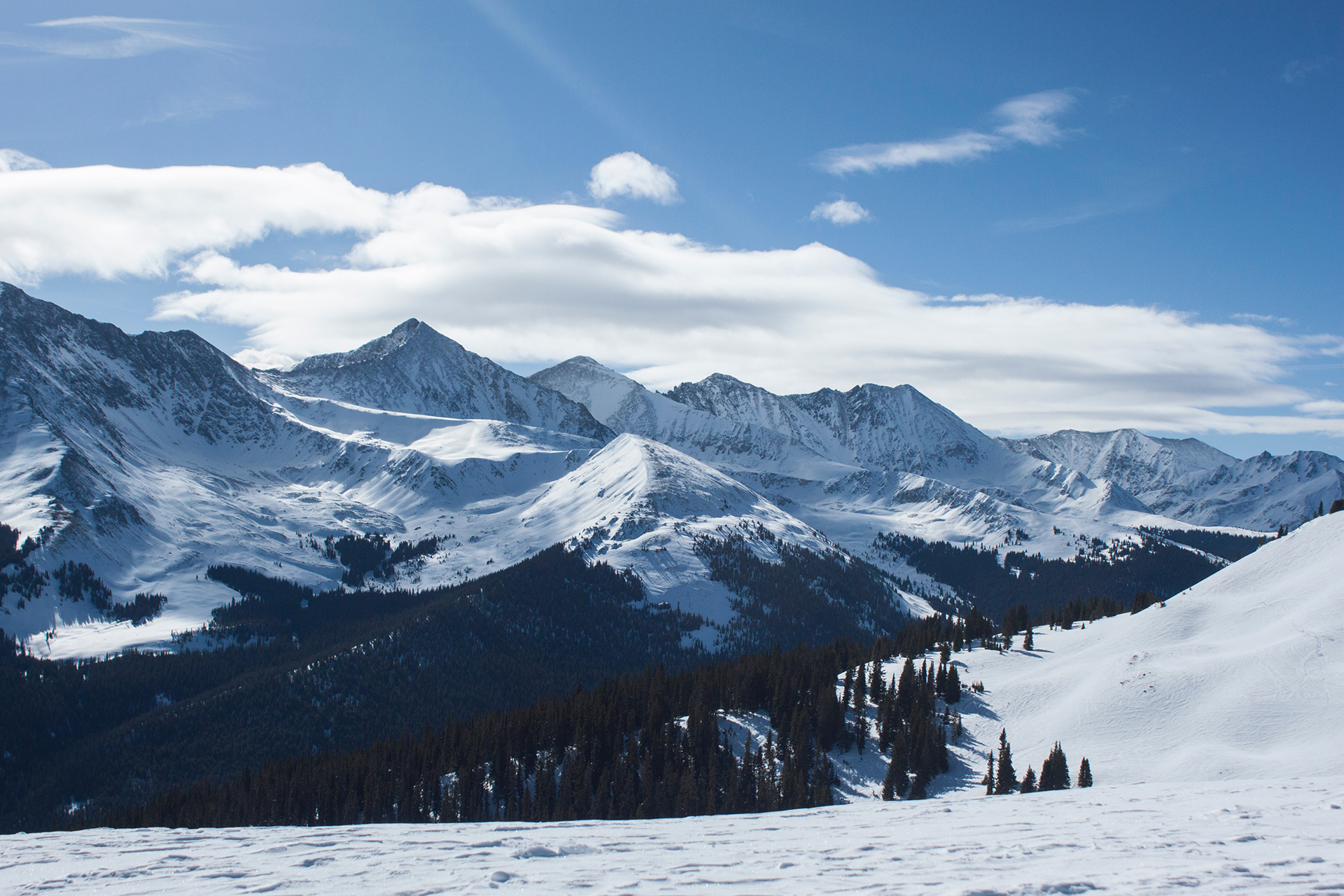
The route we are going to do comes first, making it clear which airport we leave and which one we're going to. In this case the experience of previous flights will facilitate the whole process, if someone has told us if the route we are going to make has any problems or if, as in my case, I have safe air route maps and airport letters to use when taking off and landing. The QNH of each airport, the TDZ, the length of the runway (LDA) are among other things necessary to know, as are the roadways (taxiways) and their indicative letters, whether there is a passenger terminal or only parking area; and most importantly, if the airport has country crossings in the middle of the runway or at the beginning (to see if we take off quickly or we can reach a decent V1 speed and take our time).
We will basically use the KELLY SHERGOOD RADAR MAP, from which we will take an image capture of the area we are going to fly; I will particularly use my SL AVIATION ROUTES and also my AIRPORTS CHARTS (if you want to use them you can also do it, or if you have your own data as well) and on the map of Kelly there is a section called APPROACHES, which you can visit and take an image capture of the airport where you are going to land; Finally, you can do what I did, and put all this data in a COLLABORATIVE ONLINE WHITEBOARD, where you can plot your route, check distances, times and speeds, and save all that information for future flights.
In the next phase we will only see the "WEATHER", which in Second Life is the GRID STATUS, which tells us if they are restarting the servers at that time, or if there are any problems in any region; we then open that website and see like this; if all right, we'll go to Kelly's page and tap the NOTAMS button in case anyone saw anything strange in any region; Resident Jessica 'Conwing' MacDougal (tesserra) is giving some "meteorological" parts of the east coast of Nautilus and Blake Sea area quite good; I insist, Second Life is a living entity and with a server being newly restarted on the route we are going to make and is very slow when making the region crossings, that is enough to have an accident.
The next thing is to do what is called the OFP (Operational Flight Plan), which consists of making the necessary calculations using the data and maps that we put on our artboard or, in my case, in the WHITEBOARD; the route to follow will be traced, the distances will be measured and the best point to start the descent to the destination airport (it seems incredible, but working with the distance to the TDZ and the speed we can do a simulation of controlled gliding, between 300 and 500 FPM or FEET PER MINUTES). My cruising altitude is about 1000 to 1100 feet and the speed about 27 knots; takeoff is usually in the 35 knots and on landings about 15 or 17 knots maintaining a 5 degree positive nose angle. There are few aircraft with a fuel simulation available, where we can make the time calculations between airports and fuel consumption to make the simulation more realistic (the Phenom 100 has this system), making in my case 100% autonomy how "100 gallons of fuel", with a duration of one hour of flight until its total consumption (here we can use the fuel consumption calculations for a certain distance , and the booking we have to leave in case there is an emergency in flight or we have to go to another nearby airport). And if anyone wants to complicate things more, let them watch a video of how these calculations are used; I assure you it's very "fun"
And we arrive at the FLIGHT PLAN, where I offer a template with fields to fill in, as well as a guide to do so (RULES FOR COMPLETING A FLIGHT PLAN); it is an easy form to make and if we keep it together with the flight information made, we will have a guide for future flights (I made a small script that functions as a black box or data register (FDR) and the information of the form next to that of the flight is very good (you can see an example on the page "FDR: SLNH TO SLSN")
And we come to the end, to our famous CHECKLIST, which is a form where you can follow in the footsteps of flight and communications with the ATC bot and if you dare to practice the aeronauticAL COMMUNICATION PROTOCOL of live voice, you will surely enjoy more; for that I leave you an online communication system, similar to the voice messages of whatsapp, which is called ZELLO and works in the walkie talkie style (you can see it on my ZELLO SOFTWARE page); I have created a channel, in case you want to enter and listen to air communications as you do on the website LiveATC.net or participate by giving the information of your flight while doing it. If you want to use aeronautical communication with ATC bots using Nikoli Nicholls GridTalkie you can use the fields and fill them with the information and channel you use (check out my PAGE GRIDTALKIE - TALKING WITH ATC BOT). If you look at my page MY ADVENTURES IN THE VIRTUAL WORLD OF SECOND LIFE you will be able to see my flights and the way I use this whole system (if you just want to see the flight, advance the video until it is inside the plane).